Most people experience the Great Allegheny Passage from the seat of a bicycle. We decided to slow things down.
Over 11 days, we walked the GAP from Pittsburgh, Pennsylvania, to Cumberland, Maryland—roughly 150 miles through former steel towns, river valleys, forests, and the mountains of the Alleghenies.
The journey begins right in downtown Pittsburgh, following the rivers out of the city toward Homestead. The first miles still feel distinctly urban: bridges, railroads, old industrial infrastructure, and reminders of the steel industry that once defined this region. But one of the joys of the GAP is watching that landscape slowly change beneath your feet.
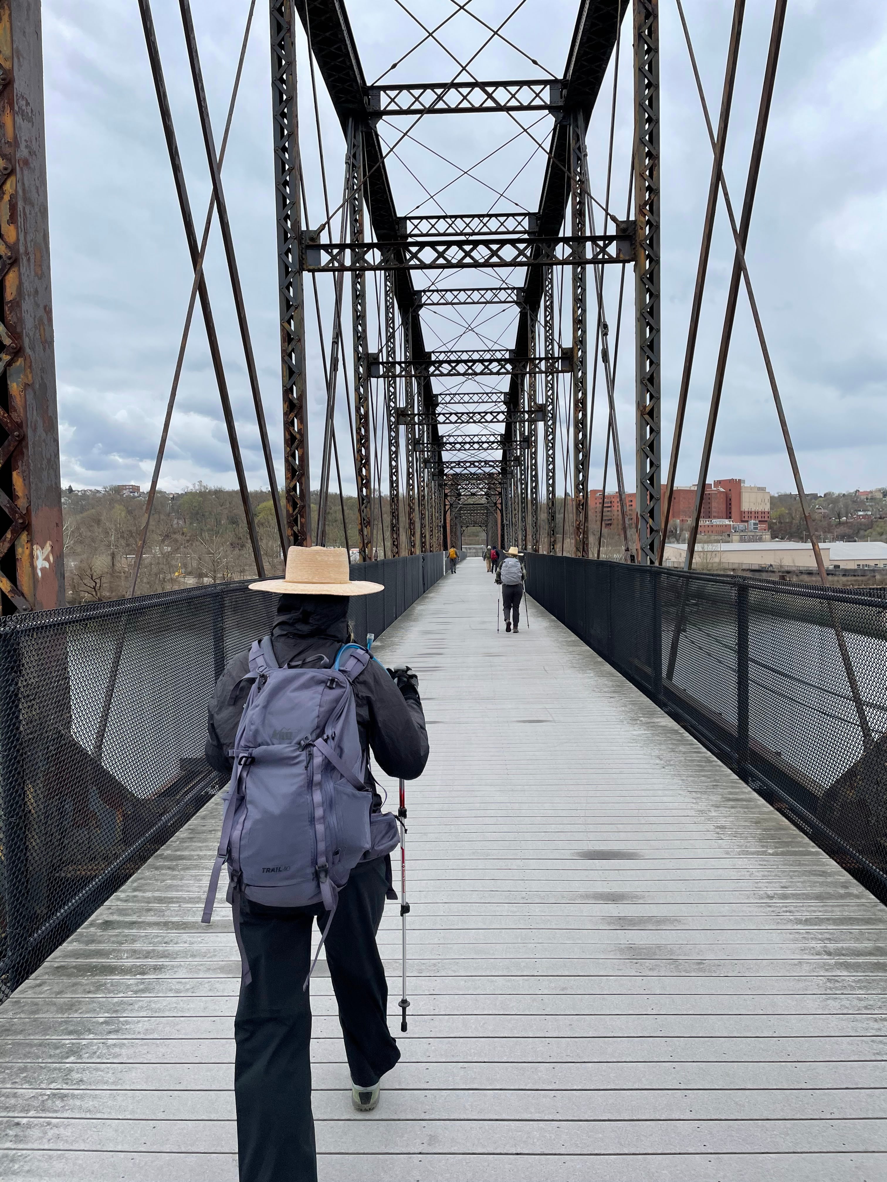
Over the following days, the trail follows the Youghiogheny River, linking small western Pennsylvania towns like West Newton, Connellsville, Ohiopyle, and Confluence. Because the GAP was built largely along former railroad corridors, the walking is remarkably gentle. Instead of steep Appalachian climbs, you get long, gradual grades that leave plenty of time to look around, talk, and simply enjoy being outside.
To be honest, there aren't tons of sites. And the flatness of the trail can be a bit monotonous. Luckily, we had the drama of some pretty gnarly blisters and the nourishment of being outside for days on end to make up for it.
Ohiopyle, though, is one of the great highlights. Here the trail cuts through the forests of the Laurel Highlands, with waterfalls, rapids, and the rushing Youghiogheny providing a much wilder backdrop than the industrial landscapes where the journey began.
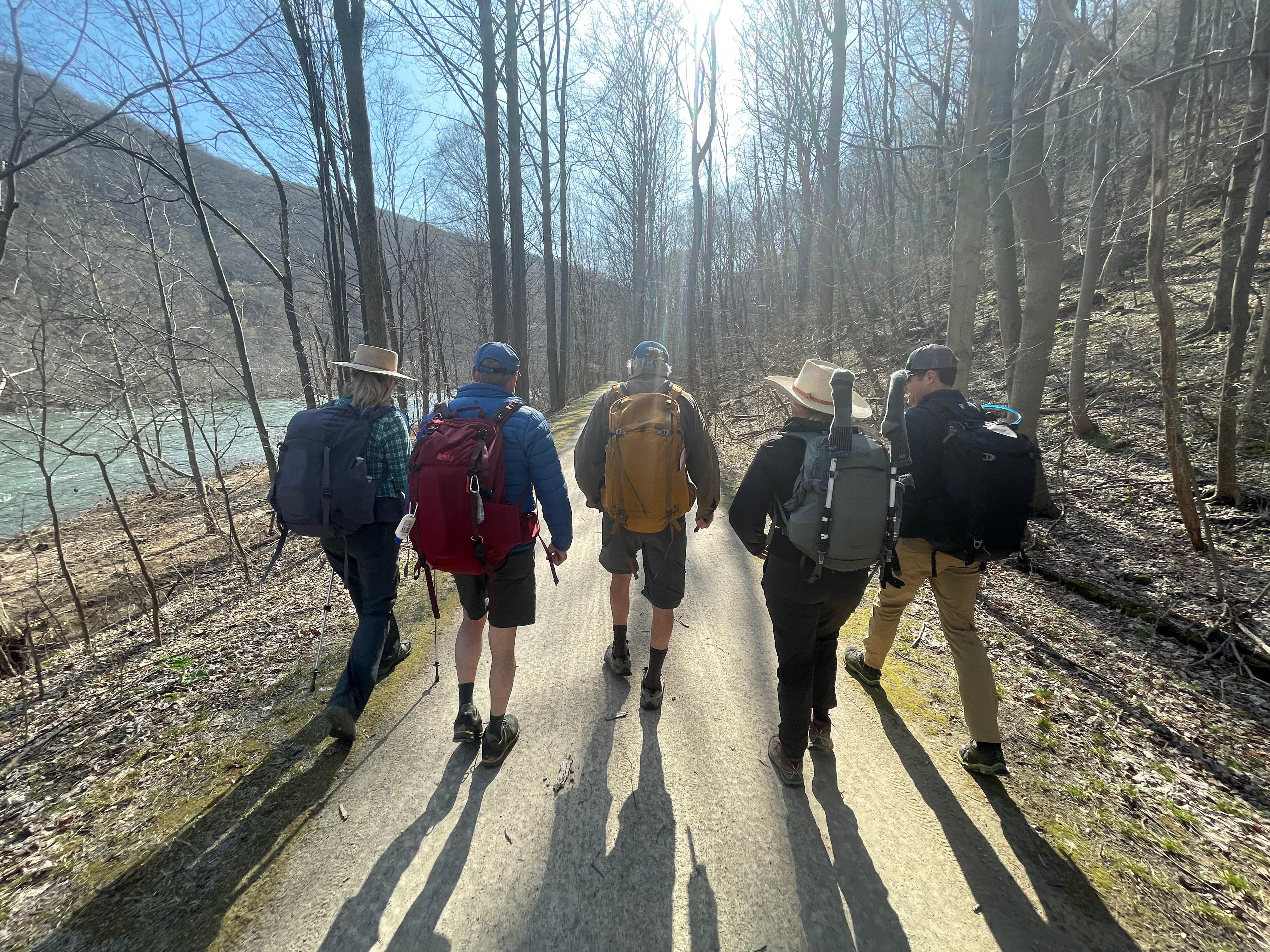
Beyond Confluence, the trail becomes increasingly remote as it climbs gradually toward the Eastern Continental Divide. Long stretches of forest are interrupted by old railroad towns like Rockwood and Meyersdale, where small inns and guesthouses make it possible to do the entire journey without camping (though don't expect great food ... we had gas station food a few too many times!)
Near Meyersdale, the Salisbury Viaduct carries the trail high above the valley, providing one of the most memorable views of the trip. From there, the GAP continues climbing toward its highest point at the Eastern Continental Divide. Here we were 2,392 feet above sea level and it was quite the satisfying milestone after more than a week of walking.
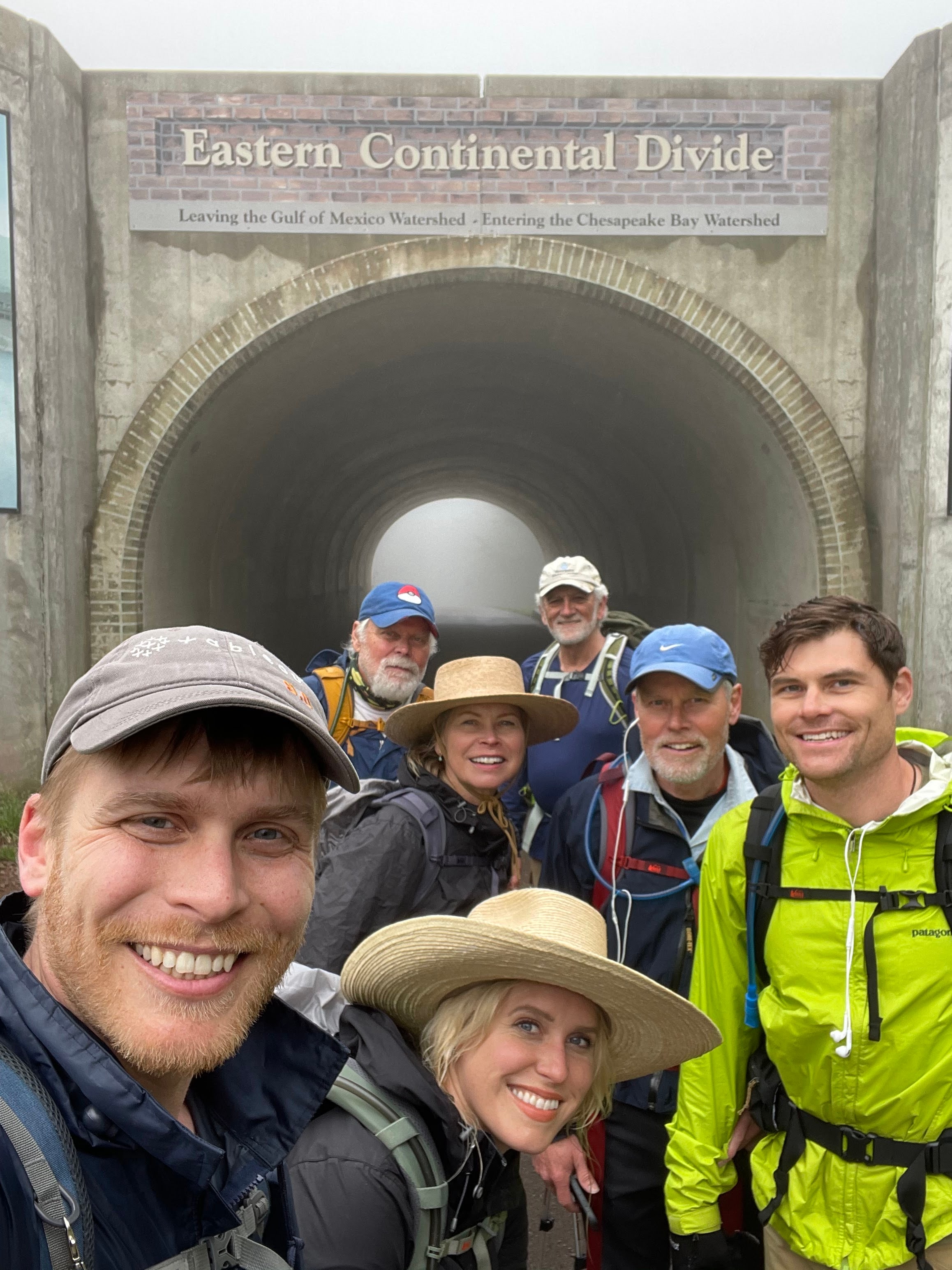
And then, of course, the descent. Certainly easier to do on a bike. And if you have knee pain (who doesn't!) it may be better to do this hike east to west with the steep incline followed by a gentle descent.
The final miles toward Cumberland include the spectacular Big Savage Tunnel, mountain views, and the remnants of the old railroad. After spending days gradually climbing from Pittsburgh, the trail finally begins its long descent toward Maryland.
And, eventually, Cumberland appears. Walking into town after 11 days feels very different from arriving by bike. At roughly three miles an hour, you have watched the landscape change almost imperceptibly: Pittsburgh's industrial riverfront becoming small towns, small towns becoming forest, and forest eventually giving way to the high ridges of the Alleghenies.
That's what makes walking the GAP special. It isn't technically difficult. There are no mountain scrambles or enormous daily climbs. Instead, it is a journey defined by distance and transition. Or to put it another way, the simple pleasure of putting one foot in front of the other and watching a 150-mile stretch of America unfold around you.
The Great Allegheny Passage may be a bike trail, but we'd happily argue that it's a hiking trail too.
Ready to plan your own Great Allegheny Passageway? Click here